Edmond History Museum
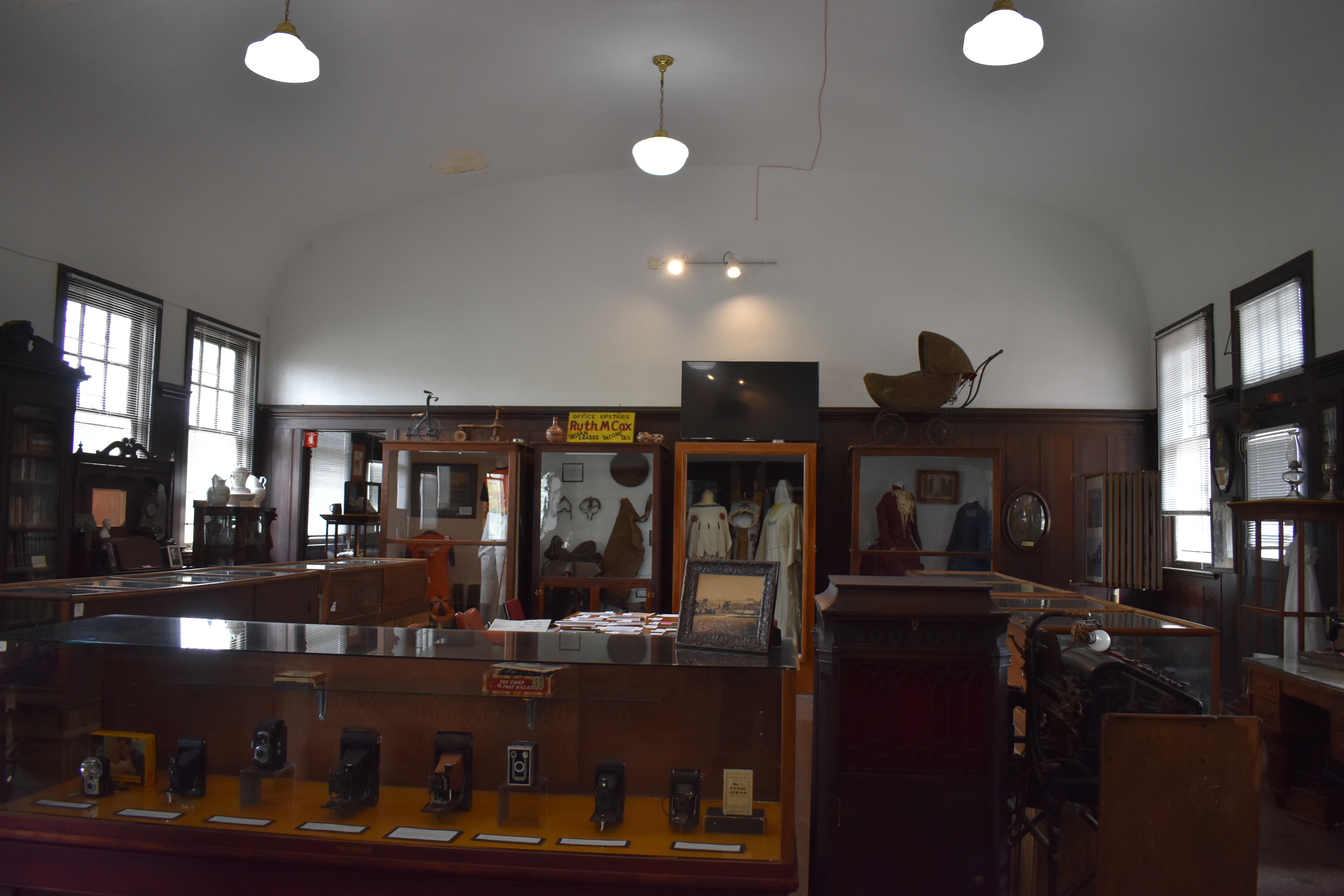
I love history museums, I love learning about the past of an area and seeing how that area has developed over time. The Edmond History Museum is a great place to learn about the early days of Edmond Oklahoma. This is a wonderful place to spend an hour, there are exhibits that change regularly as well as permanent displays.
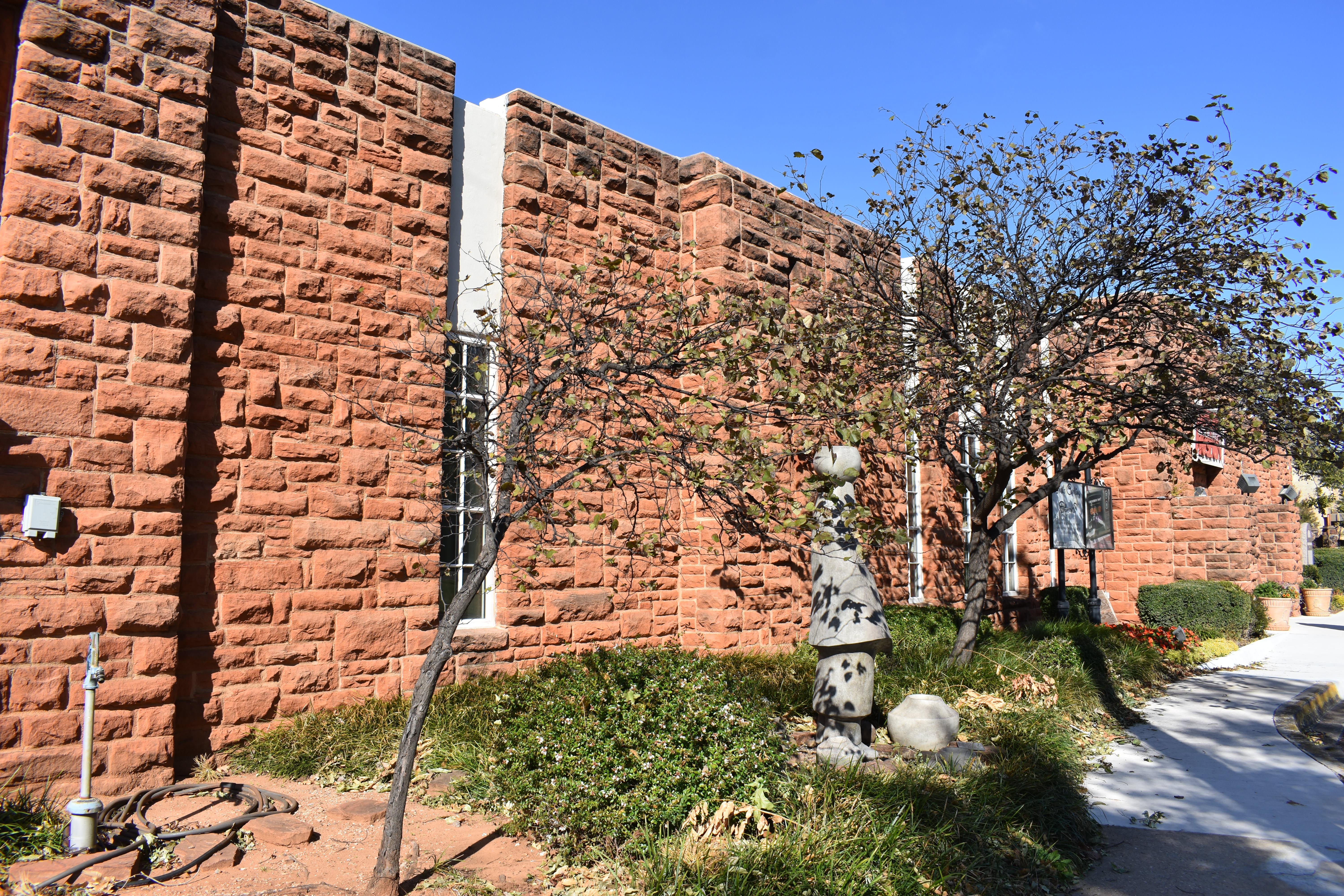
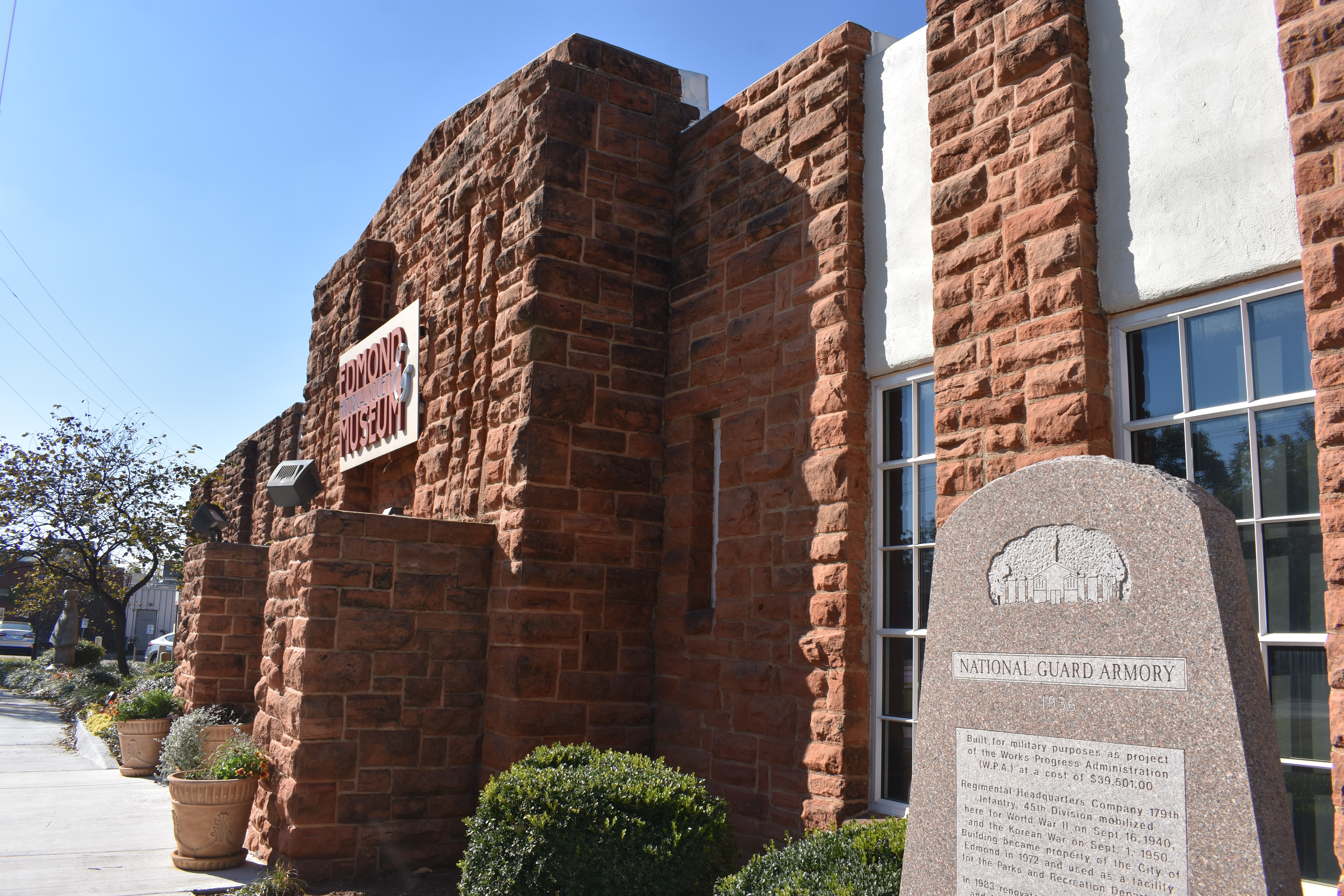
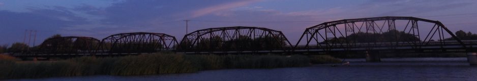
Sitting next to historic Stephenson Park on south Boulevard, the sandstone building which was built as an armory houses a small library for research along with a large exhibit space. Here you can learn about the history of Edmond. Originally a coal and watering stop along the Atcheson, Topeka and Santa Fe Railroad, mile marker 103 became Summit but was officially named Edmond in 1887. The town grew on April 22, 1889, when about 150 decided to make it their home after the land run.
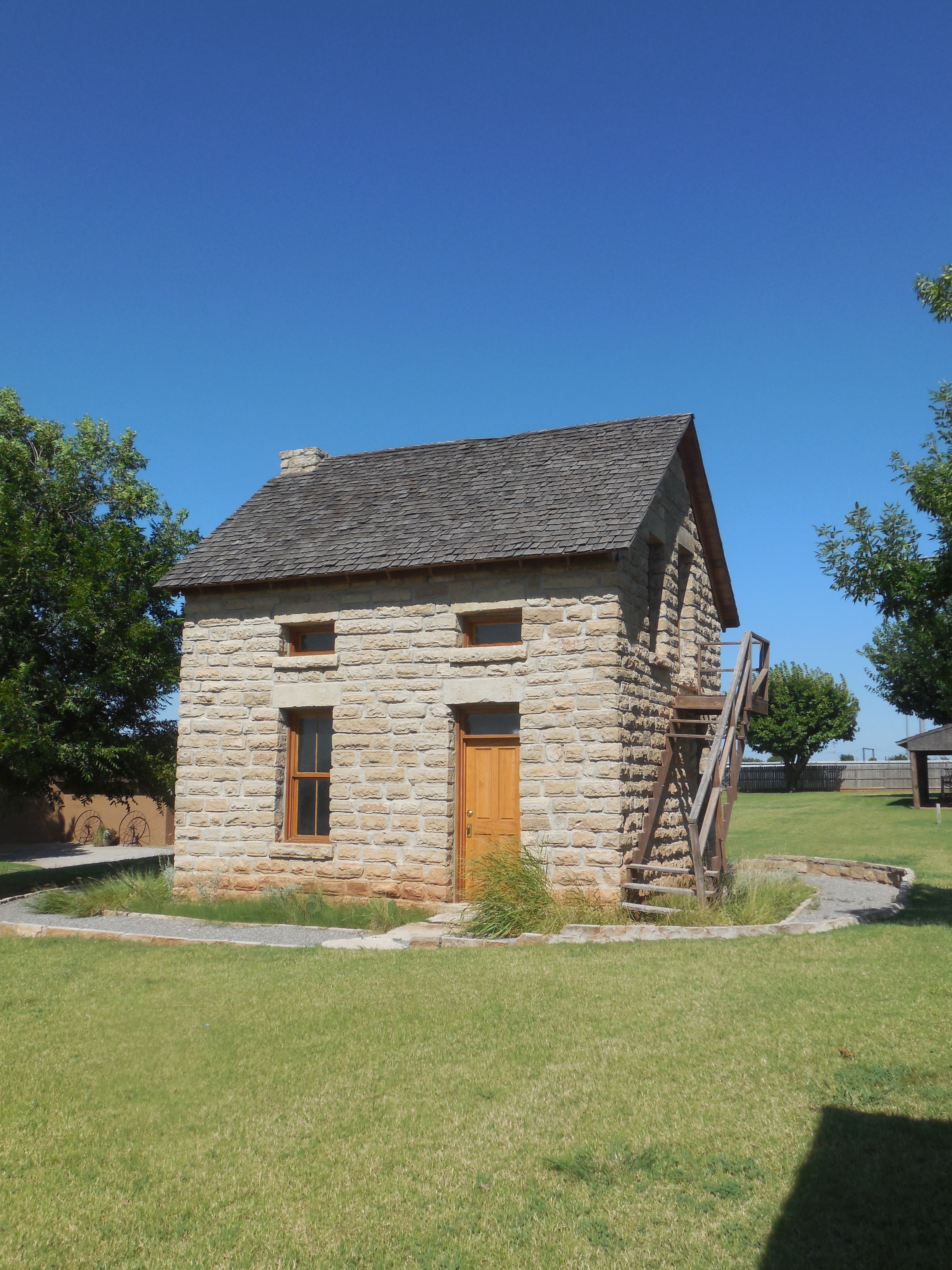
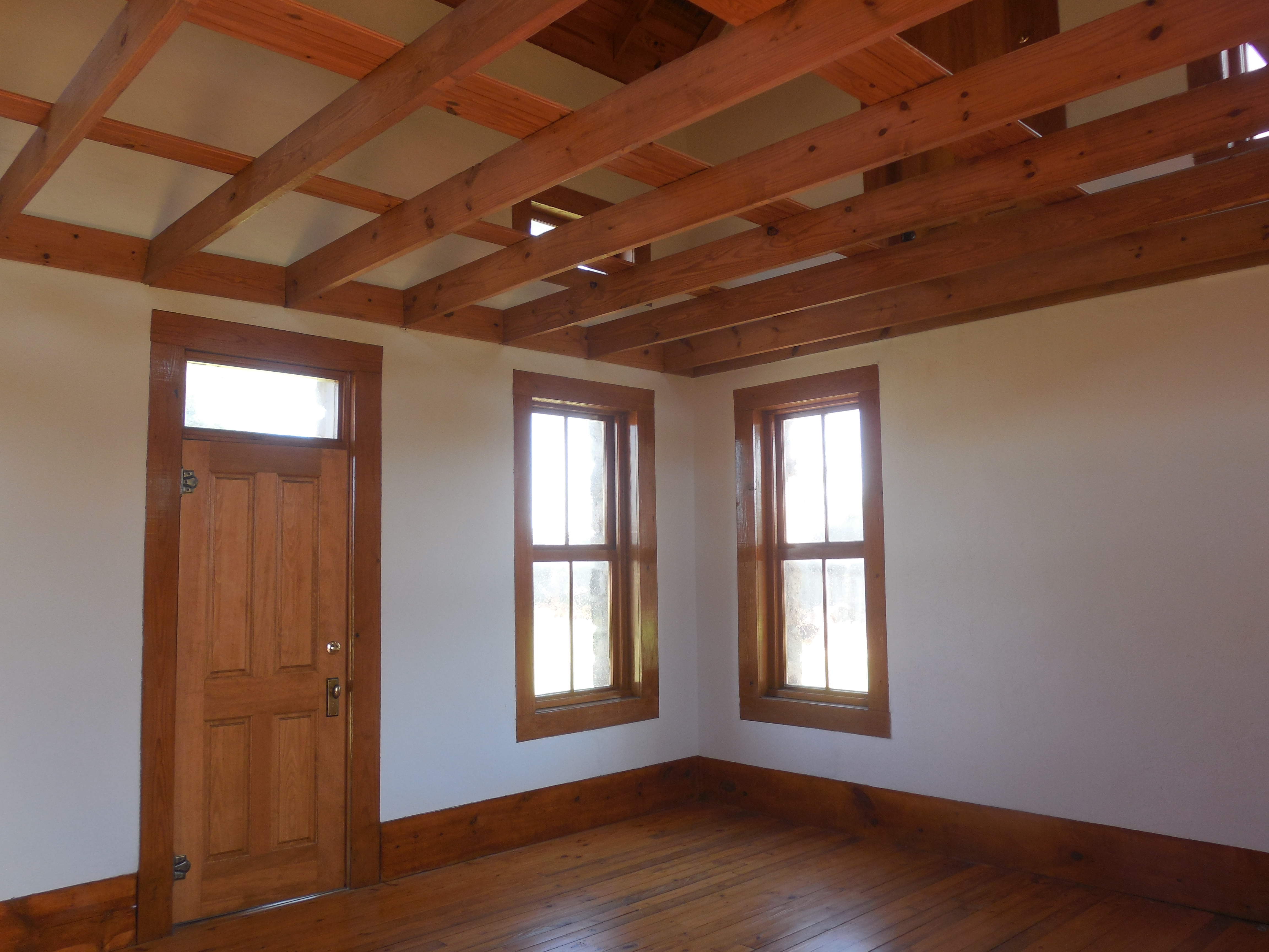
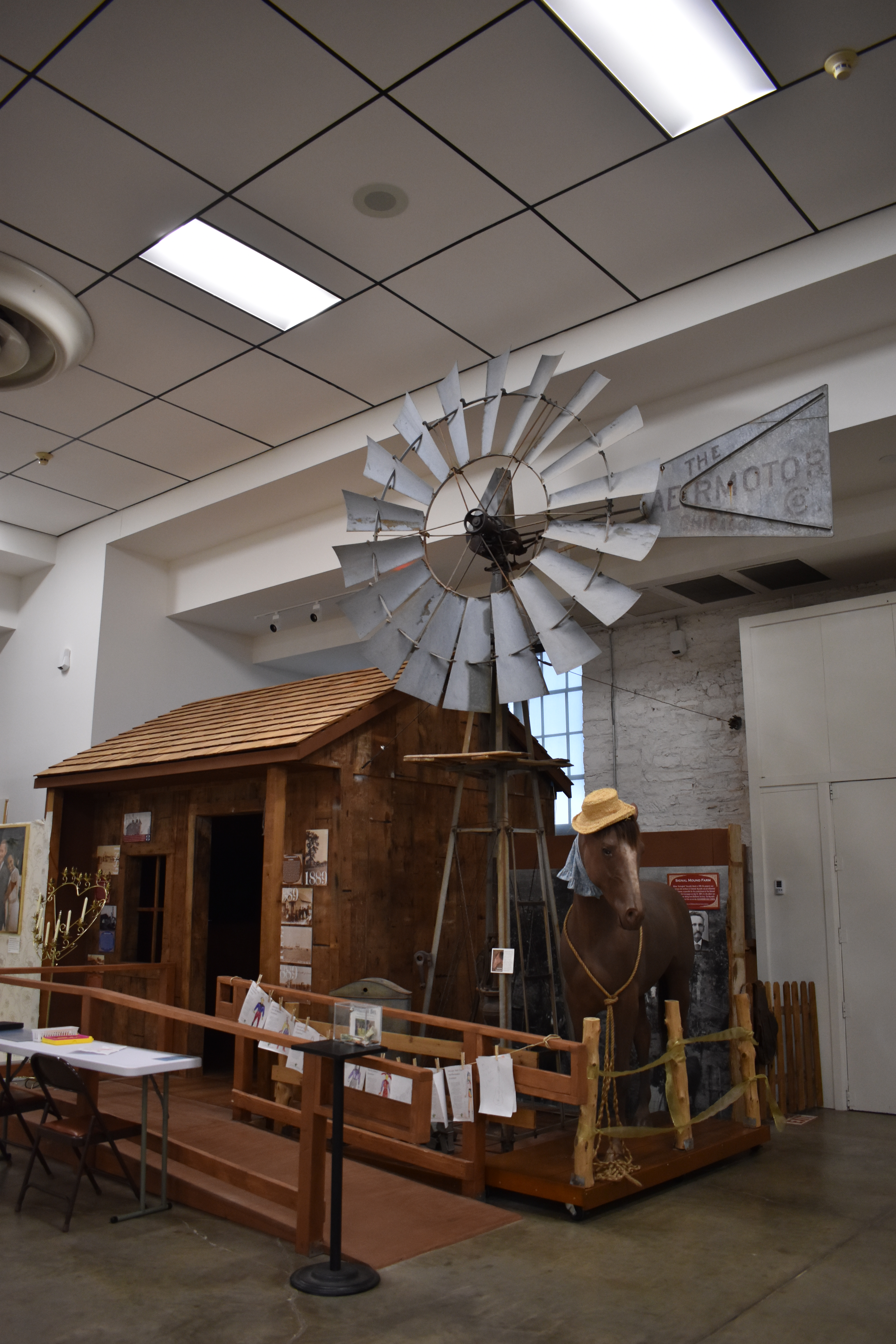
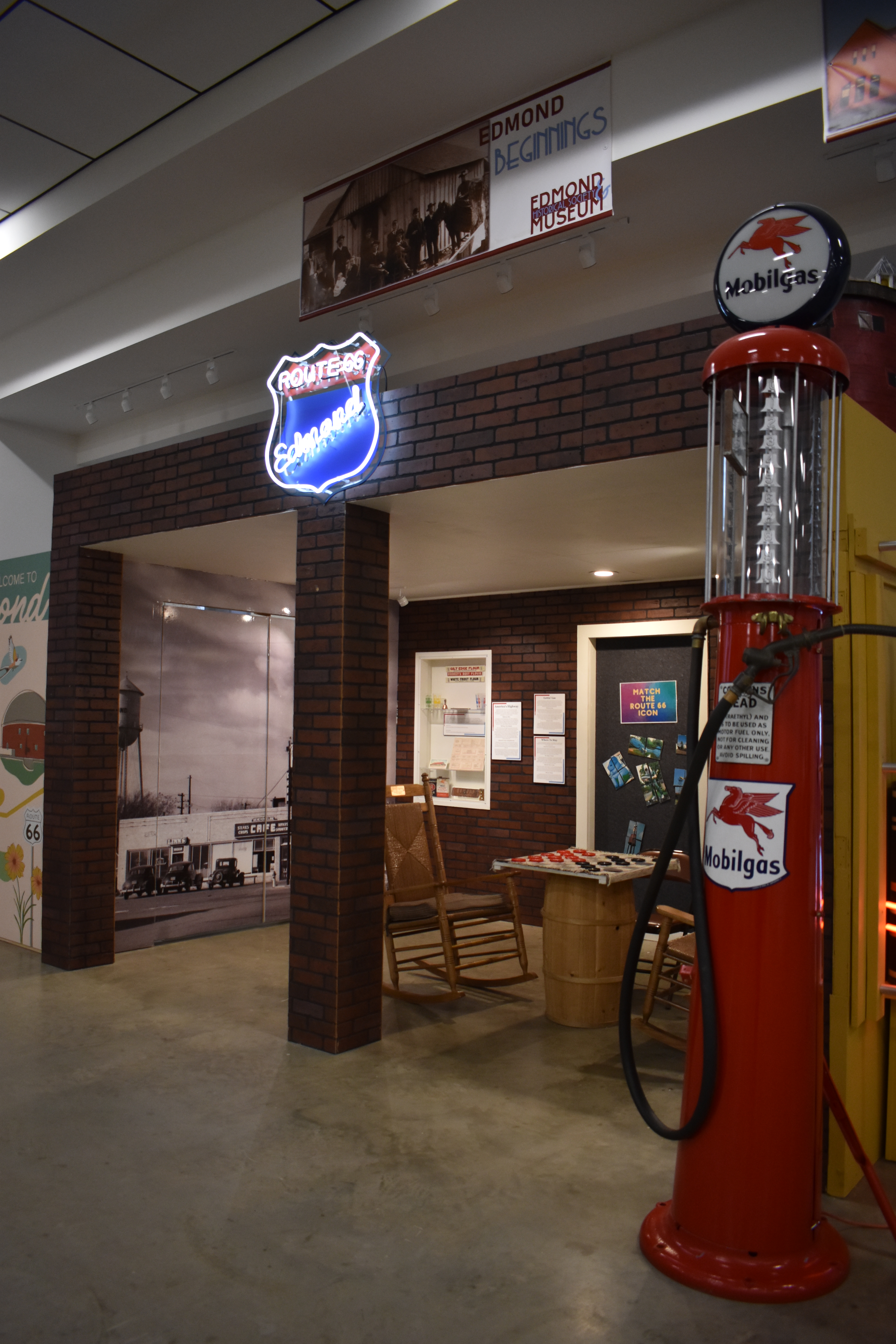
Several displays show the growth of Edmond over the years. Edmond became home to the Territorial Normal School in 1891, this helped grow the population of the small town. There are also plenty of artifacts for Route 66 lovers as well. Route 66 came right through town, coming in from the east on Second Street then turning south at Broadway heading to Oklahoma City. The small reproduction of Bradbury Station, which sat at the northwest corner of Route 66 and US 77, has many pictures of historic Route 66 buildings located in Edmond. The museum also has plenty of places for children to learn about the early days of living in Oklahoma, including a reproduction of a farmhouse.
The building it’s housed in is historical as well, the Edmond Armory was built in 1936-37 on the southeast corner of Stepheson Park by the WPA (Works Progress Administration). It was home to the Headquarters Company of the 179th Infantry Unit of the 45th Infantry Division and consisted of 65 men. It was in this building that troops trained to go war in Europe during World War II. The building was used consistently by the Edmond unit of the Oklahoma National Guard until 1968 and was turned over to the city of Edmond in 1972. The historical museum didn’t occupy the space until 1983, when community members collected enough artifacts from Edmond’s past to be displayed. The armory was listed on the National Register of Historic Places in 1991.
Address: 431 S. Boulevard, Edmond.